











Aerial bird's-eye view architectural rendering of modern masterplan with lush green terraces

Birds Eye View Services

SeeYourProjectfromaNewPerspective

Make a difference in the perception of your project by choosing our professional bird's-eye view rendering services. If you are an architect who needs to present the master plan of the project, a developer who wants to launch the pre-sales marketing of the project, or a real estate marketer trying to capture the attention of buyers, then our aerial 3D visualization services will give you the edge you need.

WhyChooseOurBird's-EyeViewRendering?

Unmatched site context. High-impact aerial perspectives that close deals.

Unmatched Context & Impact

Aerial views provide immediate understanding of site context—proximity to transport links, green spaces, neighboring developments, and water features. This big-picture perspective is invaluable for planning approvals and investor presentations.

Photorealistic Quality

Photorealistic imagery from us comes from the use of industry-standard rendering engines such as V-Ray and Corona, giving you images that seem lifelike for your residential compound or commercial masterplan.

Flexible Approaches

We offer two distinct methods: Drone-Integrated Rendering for hyper-realism and fast turnaround, or Fully Custom 3D Environments built from the ground up with complete creative control.

Predictable Process

Our service is based on your CAD drawings, Revit model, PDF site plans, or hand drawings. In our milestone-driven approach, we present the render draft prior to the actual rendering phase to make sure everything is agreed upon ahead of time.

Bird's-EyeView&Aerial|Portfolio

Sweeping high-altitude masterplans, drone composites, and comprehensive site visualizations.

Aerial masterplan bird's-eye rendering of modern architectural complex with terraced gardens

Camellia Aerial CGI

Aerial masterplan bird's-eye rendering of modern architectural complex with terraced gardens

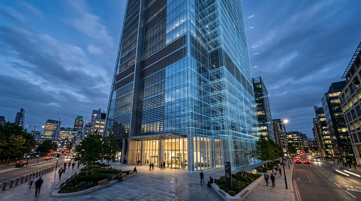
Semi-aerial high-rise commercial tower rendering with urban waterfront context
Architizer Vision Awards 2025, Rendering Artist of the Year Special MentionArchitizer Vision Awards 2025

Camellia Aerial CGI

Semi-aerial high-rise commercial tower rendering with urban waterfront context

Bird's-eye perspective of coastal resort development with private lagoons and marina

Camellia Aerial CGI

Bird's-eye perspective of coastal resort development with private lagoons and marina

High-angle evening twilight aerial view of hillside residential villas
Architizer Vision Awards 2025 Finalist for Architecture + EnvironmentArchitizer Vision Awards 2025 Finalist for Architecture + Environment

Camellia Aerial CGI

High-angle evening twilight aerial view of hillside residential villas

Expansive bird's-eye architectural visualization of multi-building community
Architizer Vision Awards 2025 finalist: Architecture + PeopleArchitizer Vision Awards 2025 finalist: Architecture + People

Camellia Aerial CGI

Expansive bird's-eye architectural visualization of multi-building community

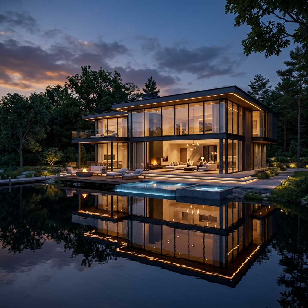
High-angle architectural aerial rendering of minimalist lakefront pavilion

Camellia Aerial CGI

High-angle architectural aerial rendering of minimalist lakefront pavilion

Alpine residential community bird's-eye rendering nestled in natural mountain landscape

Camellia Aerial CGI

Alpine residential community bird's-eye rendering nestled in natural mountain landscape

Aerial bird's-eye view of contemporary curved residential buildings with landscaped courtyards
Americas Property Awards WinnerAmericas Property Awards Winner

Camellia Aerial CGI

Aerial bird's-eye view of contemporary curved residential buildings with landscaped courtyards

Luxury private estate high-angle view with pool terrace and surrounding estate grounds
Americas Property Awards Winner logoAmericas Property Awards Winner logo

Camellia Aerial CGI

Luxury private estate high-angle view with pool terrace and surrounding estate grounds

Photorealistic aerial perspective of luxury multi-unit residential neighborhood

Camellia Aerial CGI

Photorealistic aerial perspective of luxury multi-unit residential neighborhood

Plaza level and elevated urban corridor view connecting towers

Camellia Aerial CGI

Plaza level and elevated urban corridor view connecting towers

Comprehensive masterplan zoning and infrastructure aerial view

Camellia Aerial CGI

Comprehensive masterplan zoning and infrastructure aerial view

Trustedby

SOM
Harvard University
Crate & Barrel
Eigelberger Architecture & Design
Sea Breeze
OBMI
Studio.BNA
UNii
KZAZ
Penn
Aretian Urban Analytics and Design
Vantage
Pandiscio Green
Landscape Forms
Cityscapes
Loftwall
OneHouse
Goddard Littlefair

OurBird's-EyeViewProductionPipeline

1. Briefing & Technical Specification

We gather all information regarding the project: drawings, 3D models, references, and the vision you have. We prepare a brief on what we are going to do.

WhatMakesUsaTopBird's-EyeViewRenderingCompany?

Accuracy from any file format. Client-centric support. Scalable excellence.

Accuracy from Any File Format

We work directly from AutoCAD, Revit, SketchUp, Rhino, PDFs, and GIS data. This reduces your team's workload and accelerates production.

Expertise Across Industries

We work with a broad spectrum of clients ranging from architects who have won projects, developers who are starting pre-sales, marketing professionals making an impact with their campaign, and urban planners who require public-oriented visualizations.

Client-Centric Support

Our project management team operates in the United States time zone. We know about the U.S. real estate market and the particular documentation that goes with approvals.

High-Quality Output, Every Scale

Whether it’s a six-unit townhouse or a 200-acre masterplan, every project receives the same rigorous quality review process.

whatpeoplethinkaboutus

Trusted by masterplan developers, architects, and municipal teams.

WhyHigh-QualityBird's-EyeViewsIncreaseSales&Conversions

In today's market, buyers and investors act fast. Aerial renderings immediately convey the complete scale, context, and lifestyle value of large developments.

The challenge

Ground-level photos and 2D master plans fail to convey the true scale, surrounding amenities, transit access, and natural landscape of expansive multi-acre projects, leaving investors and buyers uncertain.

The answer

High-resolution bird's-eye and drone-integrated 3D renderings showcase the entire master plan in one breathtaking view. They illustrate community layout, zoning, and neighborhood connectivity, driving rapid pre-sales and institutional investment.

FrequentlyAskedQuestions

Everything you need to know about our aerial 3D rendering process, drone integration, and turnaround times.

Drone-based renders combine your 3D model with a real photograph of the site, offering realism and speed at a lower cost. A fully 3D scene models everything from the ground up, offering complete creative control over weather, season, and surrounding context, but at a higher price.
AutoCAD (.dwg), Revit (.rvt), SketchUp (.skp), Rhino (.3dm), PDF, and GIS files are all accepted. We can also work from preliminary site plans and hand-drawn conceptual sketches.
The timeline depends on the complexity, but normally it takes around 5-7 business days for a single view bird’s-eye perspective rendering. Urgent projects can also be accommodated with expedited turnaround.
Yes. We operate through a fully remote, online workflow and work with clients worldwide. Our project management team is structured to accommodate U.S., European, and international time zones seamlessly.

ReadytoElevateYourProject?

Contact us today to discuss your Birds Eye View rendering needs. Let’s bring your vision to life.

INSIGHTS & GUIDES

RelatedBirdsEyeViewServicesArticles&CaseStudies

Explore technical deep-dives, industry workflows, and project insights curated for Birds Eye View Services.